
New Digital Deal
To make urban planning and design more inclusive, we must work with citizens on digital trust

To make urban planning and design more inclusive, we must work with citizens on digital trust
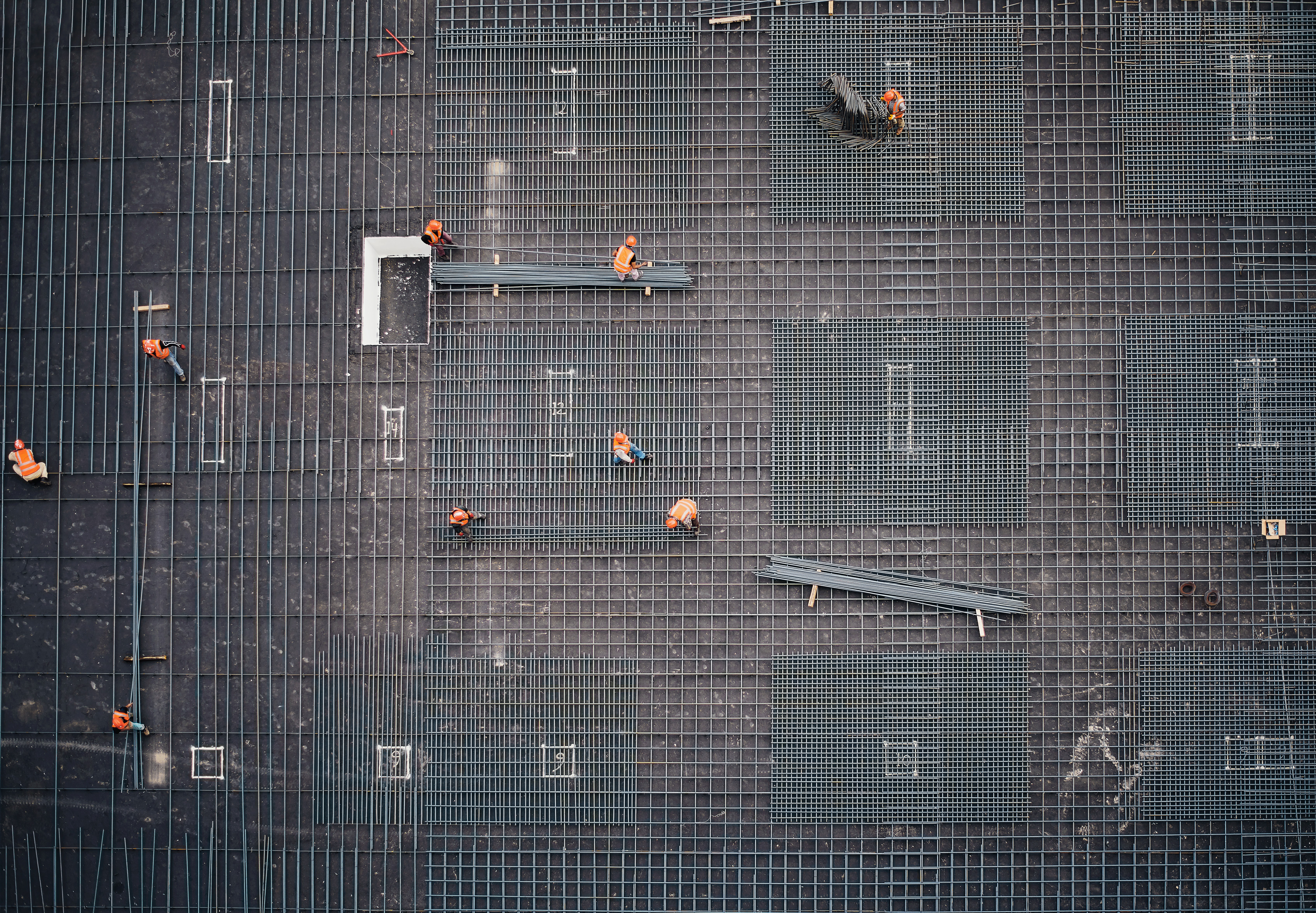
To address climate, AI and justice, let’s consider citizen assemblies as megaprojects
The idea that artificial intelligence will replace designer is ludicrous. Such technology presents, however, many risks to the practice of design. Algorithmic bias can have detrimental effects if set in stone by architects, urban planners and designers. Many design schools remain reluctant to engage with AI technology and know-how. But AI can also prove to be an opportunity for environmental design practices. For example, when use as means to generate innovative artefacts that leverage the design process. By supporting creativity and critical understanding of inequalities, AI could also attract more attention to the role of design in society. By empowering design and designers, AI might provide a powerful tool to formalize ethical and aesthetic innovation for future generations.
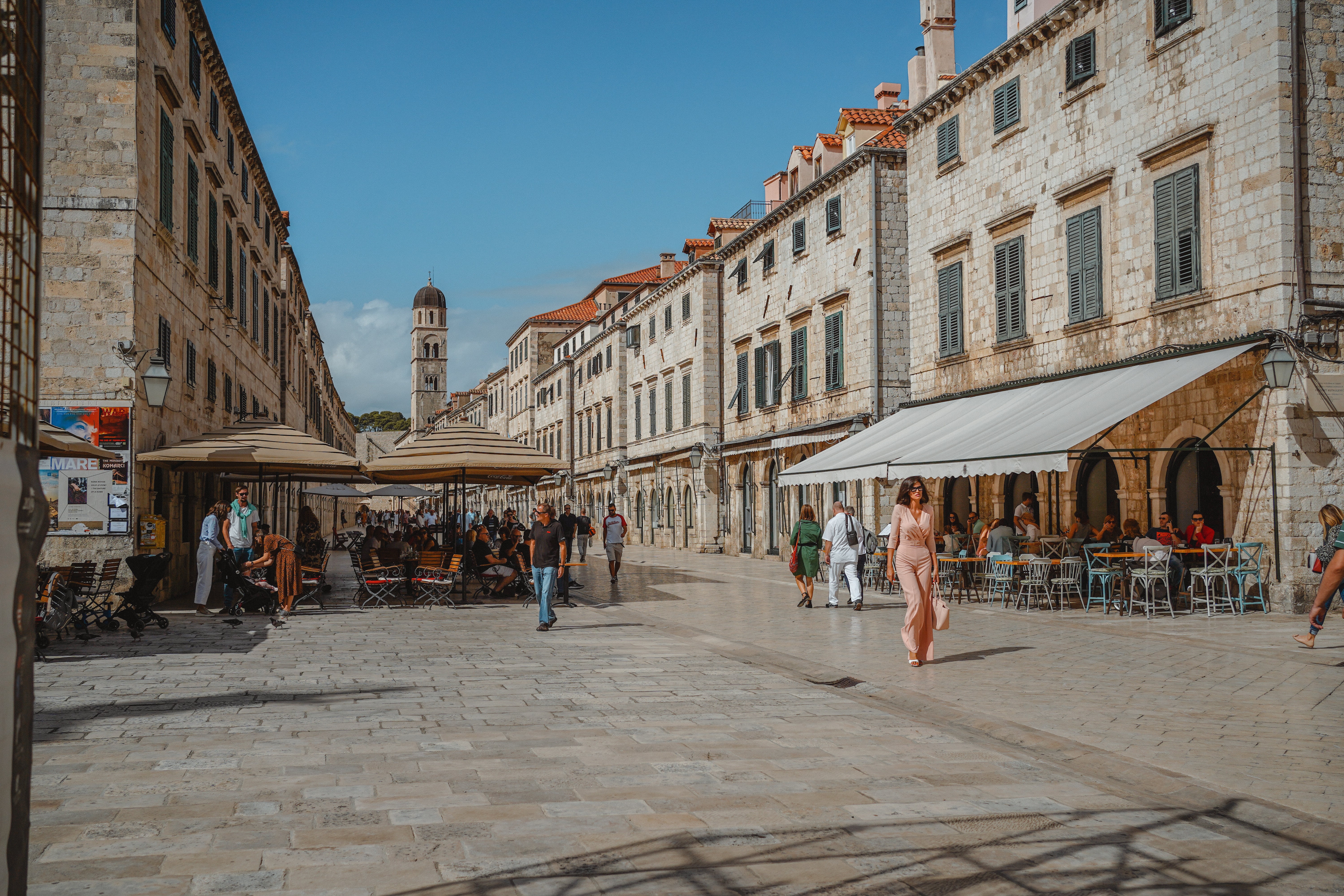
La capacité des designer urbain à intégrer des outils d’intelligence artificielle dans le processus de conception et d’idéation de la ville pourrait servir à rendre celle-ci plus inclusive.
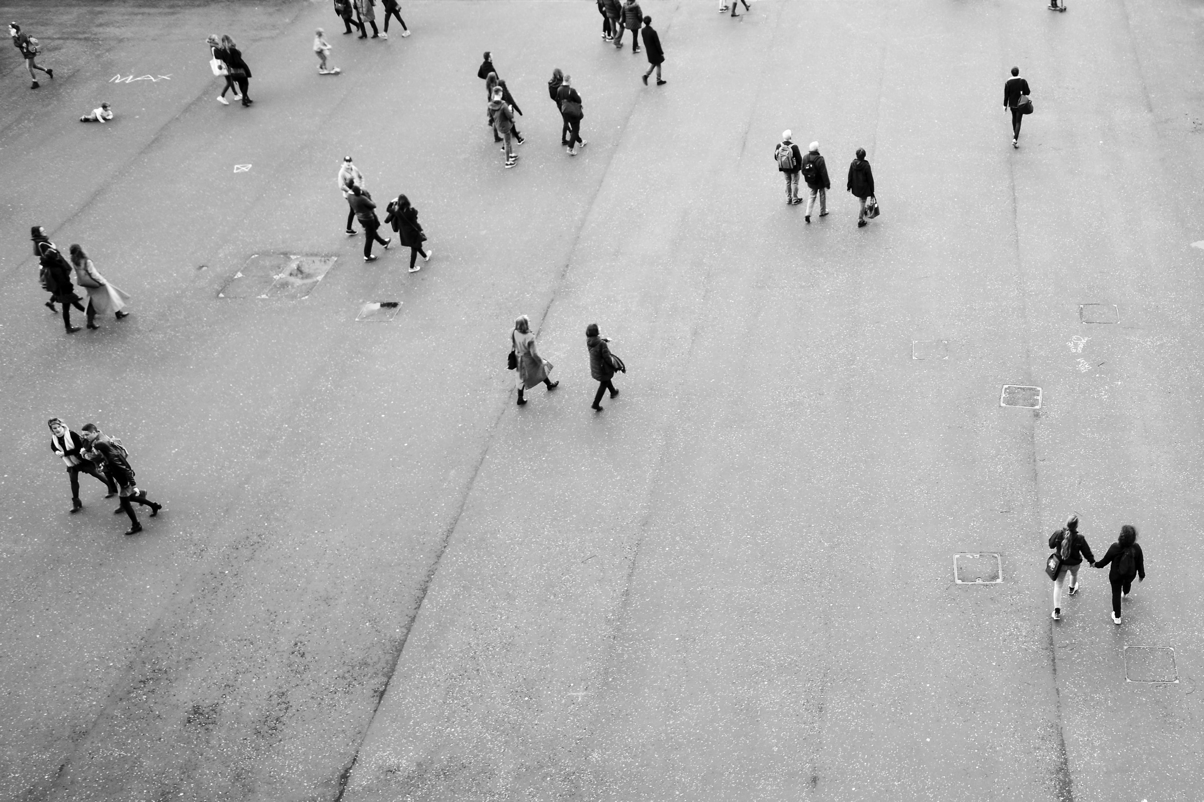
L’absence d’une méthodologie pour mesurer le peuplement effectif des lieux limite notre capacité à distribuer les richesses justement. L’utilisation de traces numériques permet certes aujourd’hui d’estimer le nombre de personnes qui se trouvent dans différents endroits à tout moment de la journée, mais celle-ci requère encore un ancrage théorique cohérent. Pour ce, la géographie humaine offre des outils conceptuels puissants, mais dont le mode d’opérationalisation reste à définir. Nous présentons ici une méthodologie d’analyse des traces numériques qui établit le peuplement effectif des lieux. En considérant l’individu comme le point de départ de la spatialité et les lieux comme des espaces où la distance n‘est pas pertinente, nous définissons le peuplement effectif en fonction du rapport de distance entre une individu et toute autre personne à un moment donné. Cette mesure dynamique du peuplement des lieux ancre ainsi le développement de technologies numériques aux questions fondamentales de la géographie humaine, ouvrant du même coup le développement d’un politiques de redistribution des richesses plus juste.

What will the future of agriculture look like is a key question for sustainable territorial development. From the production of methane to logistics, the food industry is responsible for thirty percent of green gas emissions in France. How to mediate its impact is a major challenge for urban planners and policy-makers. Yet, new farming practices and a smart transformation of activities may absorb more emissions than they produce. But is society ready for the change? To come up with solutions, we organized a three-day national assembly gathering 130 citizens from all across France. Together, they auditionned ministers, experts and stake-holders, and debated to finally came up with five key propositions to make French and European agriculture more green, more fair, and centered on the needs and well-being of famers. Outcome of the assembly should directly shape the French National Agricultural Strategic Plan, which will be a corner stone of the new Common Agricultural Policy of the European Union.
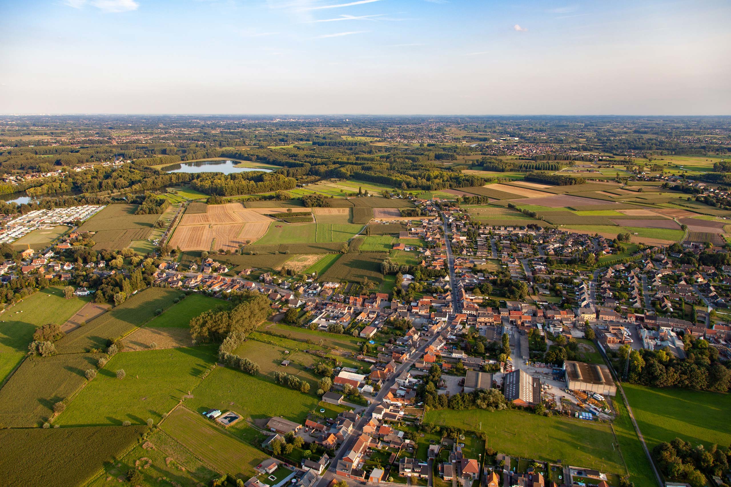
Un intérêt pour la cartographie est grandissant dans toutes les disciplines concernant l’espace. Architectes, artistes et géographes partagent les outils, le goût et la sensibilité, en tant que producteurs d’images, pour la carte, le plan, le dessin, la photo, le montage. Pourtant, cette production reste souvent confinée dans des domaines d’utilité et de circulation assez restreints, marqués par les champs de formation et de pratiques professionnelles. Quelles sont les dynamiques, les environnements, les acteurs sociaux autres qui pourraient bénéficier de la circulation de ces images d’espaces ? Qu’est-ce que cela changerait dans la conception et la réalisation de ces images ? En quoi cette production pourrait bénéficier de, et à, la recherche en sciences et arts de l’espace ?

Tools needed to digitize cities’ historical development could reshape how we plan their future. Digital tools and methods provide unforseen potential for understanding the history of cities, their connection to the world, and the evolution of their societies. Recent research provides solid ground for modeling politics, art and trade of the past. Happened proposes exploiting art and architecture archives to rethink how we plan cities today. In collaboration with the Max-Planck Institute for the History of Art and Architecture – Bibliotheca Hertziana and the Max-Planck Center for Digital Visual Studies, this research project focuses on the historical development of Rome and to shape the future of the Eternal City. Using digitial tools and methods common to digital humanities and computational social science, Happened opens new way of designing more sustainable cities.

How the COVID pandemic affects digital trust and data privacy will shape the future of digitization. The digital dimension of the world sanitary crisis is manifold. Through mobile devices, social media and contact tracing crystalize the pandemic as a digital crisis. The mediation of trust and privacy through technology is whole.

The interaction between landscape architecture, urban design and social research could provide timely strategies to make cities and regions more sustainable. In the last twenty years, each of these disciplines has come up with creative responses to improve life quality, social justice and ecological systems in urbanized areas. Among new approaches, the “City-territory” reconciles the praxis and theories of large-scale planning and small-scale design. In this framework, new conceptual and pedagogical tools would increase our capacity to design together.

The lack of methodology to collaborate over sustainable urban development limits our capacity to find solutions that could save millions of human lives as well as millions of animal and vegetal species. Over the past twenty years, inter- and transdisciplinary collaborations have provided the most effective and impactful approaches to increase the sustainability of urban environments. In order to foster these collaborations, researchers, policy-makers and practitioners must define a common lexicon. The necessity to rely on common ground concepts and ideas also makes research more permeable to citizen participation.

The effect of spatial design and planning on dynamics of political polarization remains largely unknown, at the risk of fostering social and economic upheavals. Lifestyles associated with urbanization patterns are strongly bound to political preferences. Recent elections and votes in Europe and North America suggest an increasing polarization of voters. Since the mid-eighties, large social movements and protests for social equality, justice and the environment have increasingly departed from cities. Analyzing thirty years of national referendum in Switzerland, these maps show new levels and dynamics of political polarization in the country. Long-standing divide between linguistic and religious groups reduce vis-à-vis an emergent disagreement between larger cities’ inhabitants and linguistic minorities, on the one hand, and culturally dominant suburbs and countryside, on the other hand. These results illustrate a renewed political alliance between urbanites and cultural minorities on social, economic and environmental issues, which resonate with recent protests around the world. Centered on the values of voting populations, these maps propose new models to understand the effects of urban and territorial planning on social processes and politics, and open to a series of design and planning strategies to reduce social and political conflicts at the regional and national level.
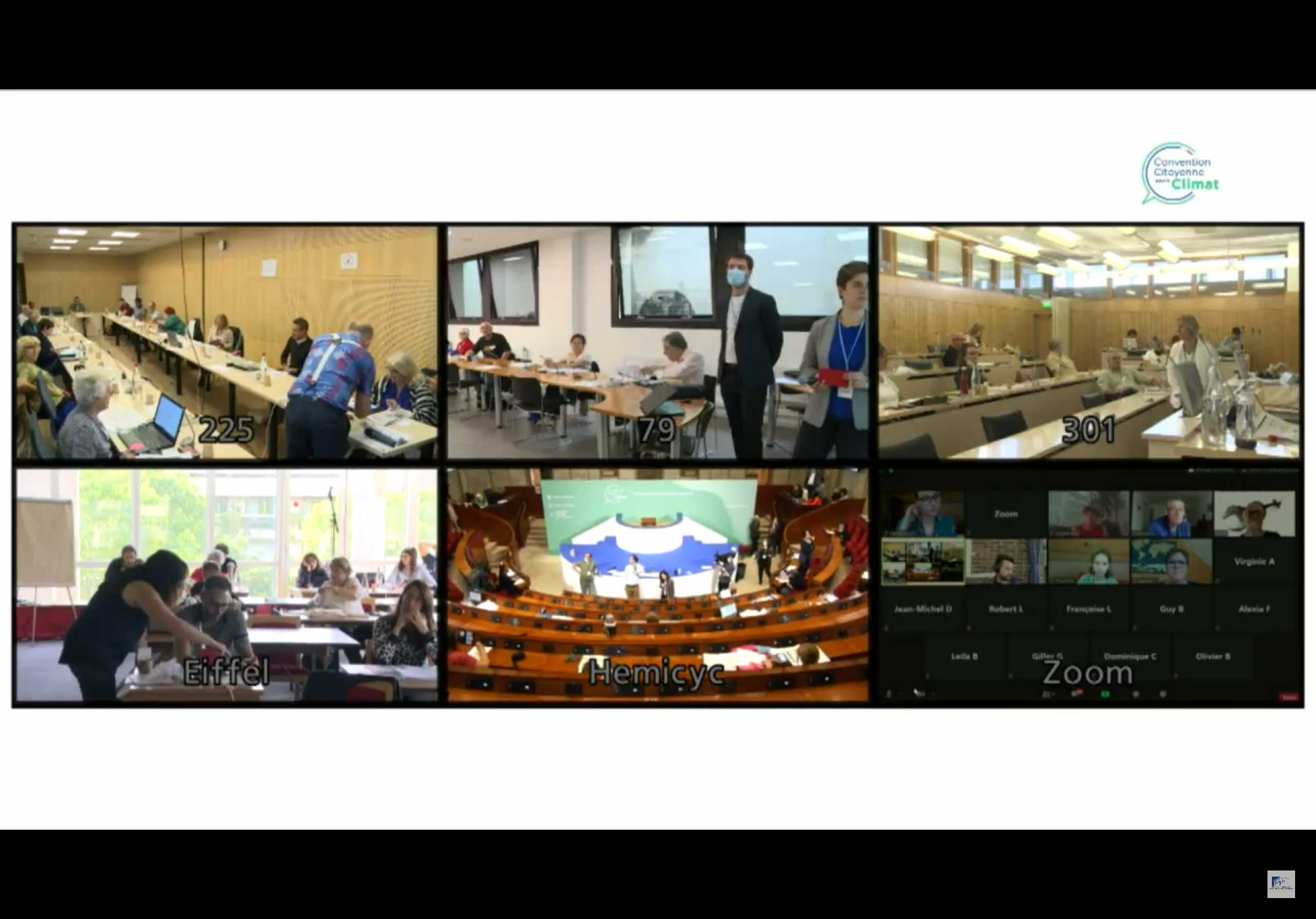
This week-end, took place the last session of the Citizen Convention on Climate. As scientific observers, my colleagues at Chôros and I followed the entire process of the Convention. On Sunday, the citizens members of the Convention voted in favor of the final version of the report that will propulse France in the ecological, social and economical transition.

In defining socially responsible and ethical AI systems, we find some solutions in how we conceive their agency.
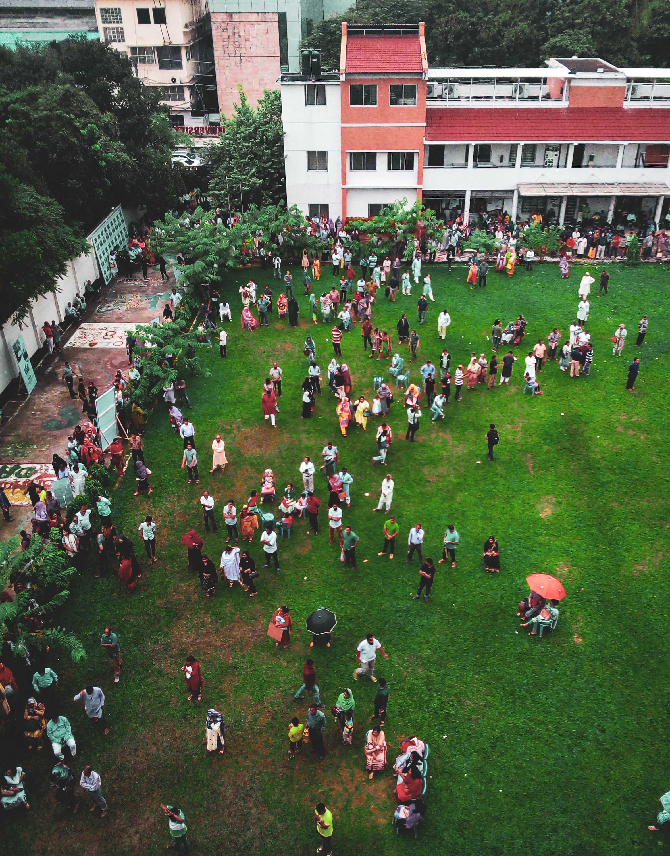
References to public space lack of international identification standards that would increase their quality and sustainability. In many fields, identification standards provide efficient and permanent protocols to describe objects, events and locations. These combine tools such as unique identifiers, data ontologies and format specifications. Following the “Data FAIR principles,” the tools can easily be integrated to a permanent and publicly accessible digital infrastructure. Here, we propose to establish a data standard for public space that would facilitate transdisciplinary collaboration and citizen participation to the design and planning process. The resulting standard follows “FAIR data principles” and subscribe to Data FairSharing platform. It provides a canvas to make public space data findable, accessible, interoperable and reusable for practitioners and researchers, increasing the possibility for building better public space based on citizens’ aspirations.

Communication and dissemination remain difficult when working at the intersection of urban planning and research. This effort is, however, necessary if we want to create better public space for people. In Europe, such task is supported by the COST Action 18204 “Dynamics of Placemaking and Digitization in the European City” which gathers urban planning practitioners and researchers from over thirty countries. As a representative for Switzerland, I actively took part in the first workshop on the action’s communication and dissemination strategy. Thanks to the support of Kenneth Bone, our communication officer, we were able to discuss the central role of new media in transdisciplinary collaboration, and their indirect contribution to making better public space.

Data visualization is a powerful way to valorize scientific outputs and establish collaborative dialogue with the public. Data visualization challenges are increasingly popular within organizations, companies, and schools where they provide an effective way to teach learners of all age about creativity, digital literacy, project management and science. Organizing a good challenge requires, however, a lot of conceptual and technical efforts, coordination and understanding of data and visualization. To this end, so-called “visualization pipelines” offers a support to develop data visualization projects. This digital infrastructure does not, however, provide cues and clues to invite, gather, combine, display and diffuse various data visualization projects.

As artificial intelligence systems become omnipresent, we must make sure that the technology is trustworthy. Depending on how and who makes them, AI systems can lead to more bias and discrimination. In order to mitigate this risk, international standards make technology more transparent and accountable to the public. They also help raise awareness of the authorities on the importance to develop sustainable socio-technical systems. Today, our group of experts on digitization, ethics and society discussed actionable actions to define such international standard for the governance of AI systems. We shared insights on participatory approach, data ethics, cross-cultural values and aspirations. We want to depart from people, their views, their understanding and their values. We want to know who, they think, should develop AI systems and how. The meeting marked the first session of AI Synergy Committe, a IEEE initiative on the ethics of AI systems. The Trust Chronicles should define an international standard for the governance of AI systems’ sustainable development and application.
The current pandemic highlights our lack of tools to deal with uncertain situations at a global scale. Risks of recession and political upheavals illustrate how badly humans were prepared for the rapid sprawl of the disease. In order to govern this uncertainty, we propose two approaches, which our group has contributed to over the years: citizen science and interactive democracy. Together, these approach open up to a greater reflexivity and preparedness to face uncertain condition and build a more resilient global society.

When it comes to setting up a new website, I decided to go with GitHub Page, a service extension native to the version controlling system. Thanks to GitHub, I can run my website directly from a repository, and pull/push all the content from my local machine. Passing to GitHub Pages is also a great way to increase my understanding of how open tools can contribute to make a more sustainable society. Have a look at GitHub Pages today, and train your digital literacy in a fun and productive way!
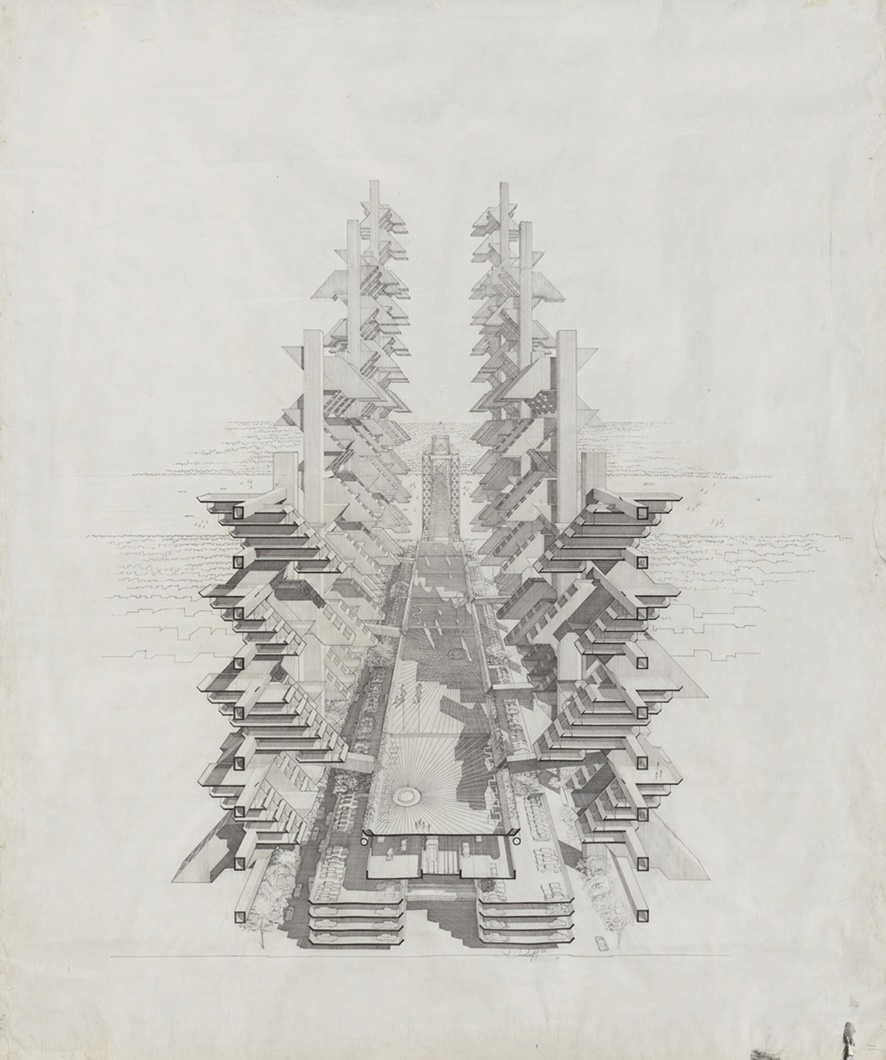
While the anti-COVID-19 measures have put a stain on many events, they also fostered impromptu visits from distinguished guests. Virtually at least. Today, we welcomed David Grahame Shane, professor at Graduate School of Architecture, Planning and Preservation of the Columbia University in the City New York. From his home, Professor Grahame Shane provided insightful feedback to the lab’s PhD researchers about their works. The meeting was the occasion to reconnect with an old friend of the lab and remind us of his latest visit few years ago, in propria persona.
Predicting where and when people travel is a difficult task that could help reduce the impact of transportation on climate change and increase sustainability across urban systems. Over the past few years, computational Social Science and transportation engineering have developed many tools to simulate large-scale travel. These simulations serve to plan transportation network and orient urban development. To this end, researchers increasingly rely on data they derive from social media applications and mobile phone usage. Yet, if we want urban models of where, when and how people choose to travel, we need representative sample of the entire population and the complete location of each individual.
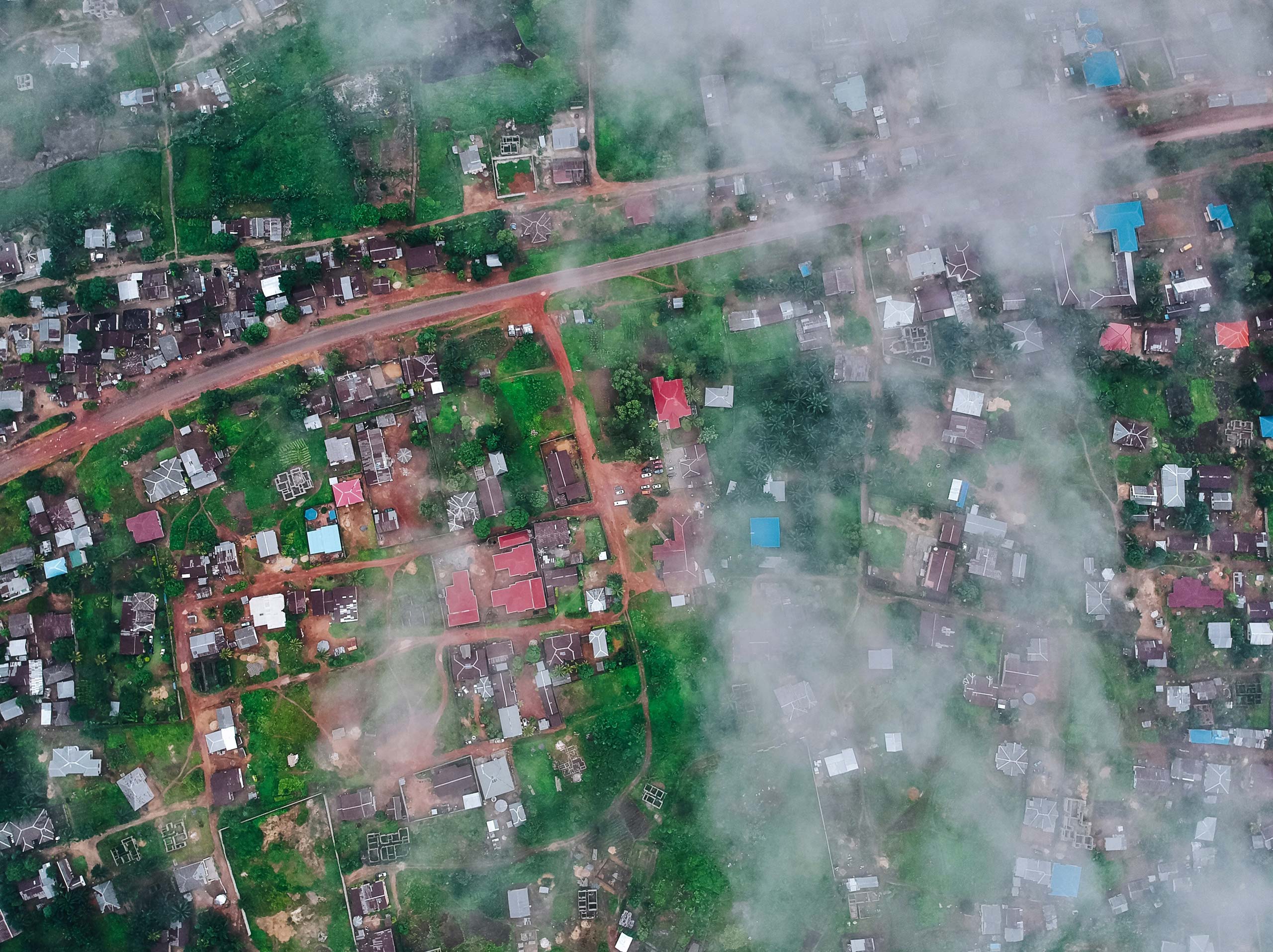
Artificial intelligence (AI) technology takes different forms in different social, cultural and geographical contexts. For example, AI impacts differently people according to their location, age, gender and revenue. AI also provides many solutions for sustainable development in emergent economies. Face with this two-side nature of AI technology, this second edition of AI & Cities focused on sustainability, trust and citizenship. Again, it gathers scholars, companies and city officials from all around the world to present research and innovation project using or questioning AI technology.
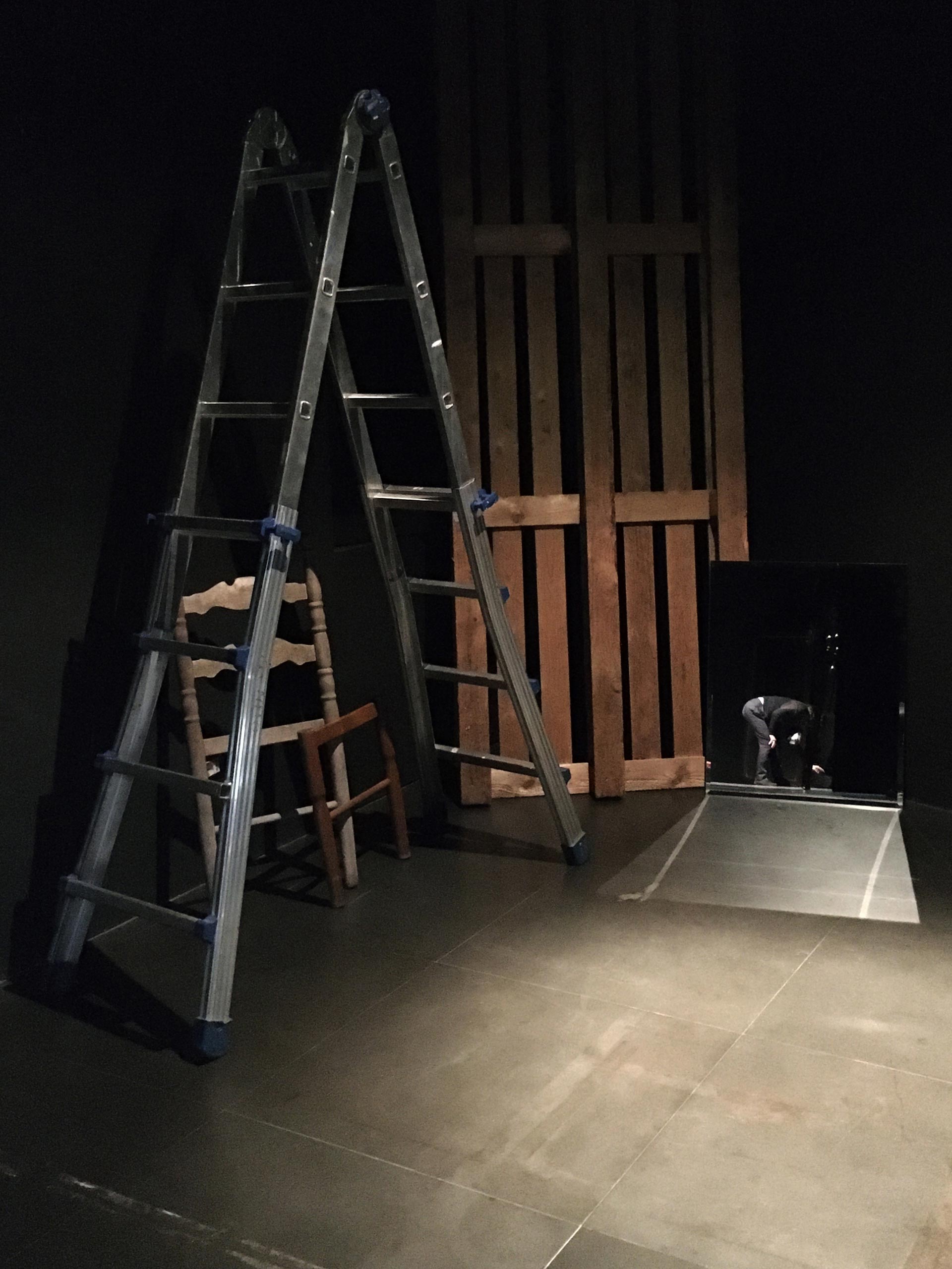
Je me souviens de cette femme. Je l’avais vue à l’Agora de la danse de Montréal. Une robe bleu électrique, le visage abaissé couvert par ses longs cheveux, les épaules sorties, les bras écar-tés du corps et les poings ramenés vers les hanches, comme un animal qui veut paraître impo-sant, et qui cherche, apeuré dans l’obscurité, un prédateur invisible.
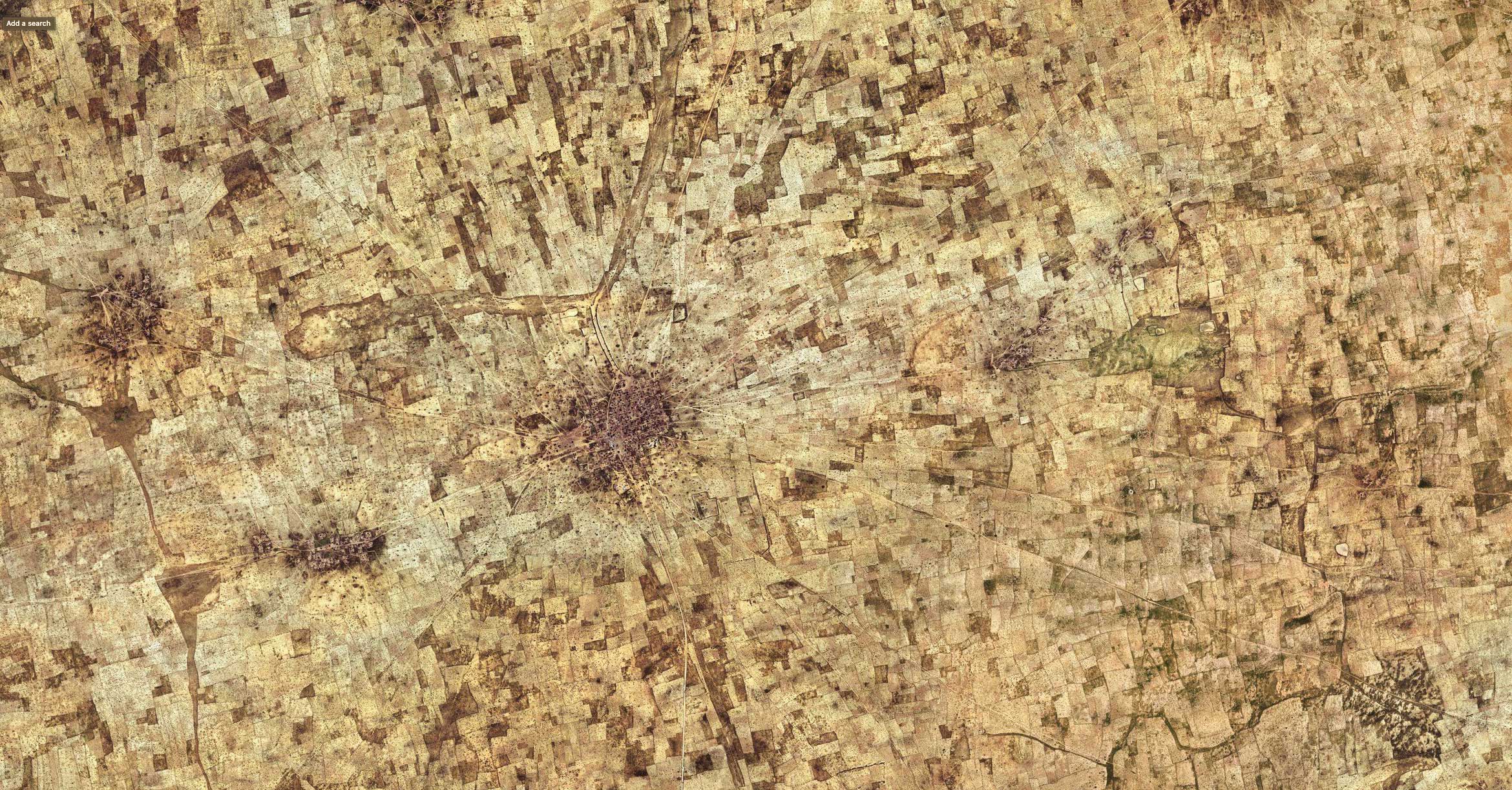
Applications of artificial intelligence systems (AI) in urban contexts are increasing at an exponential rate. As any technology, AI offers much potential and poses certain risks, which planners and city officials must consider. Face detection, movement tracking, image analysis are examples of applied machine and deep learning technology that can both improve urban sustainability and be a threat to personal information. AI & Cities was a track at the Applied Machine Learning Days, which mission was to showcase the variety of approach and critics on the development and application of AI in urban contexts. Speakers from all around the word shared views, hopes and concerns in a half-day panel that brought together researchers, urban planners, politicians and activists.
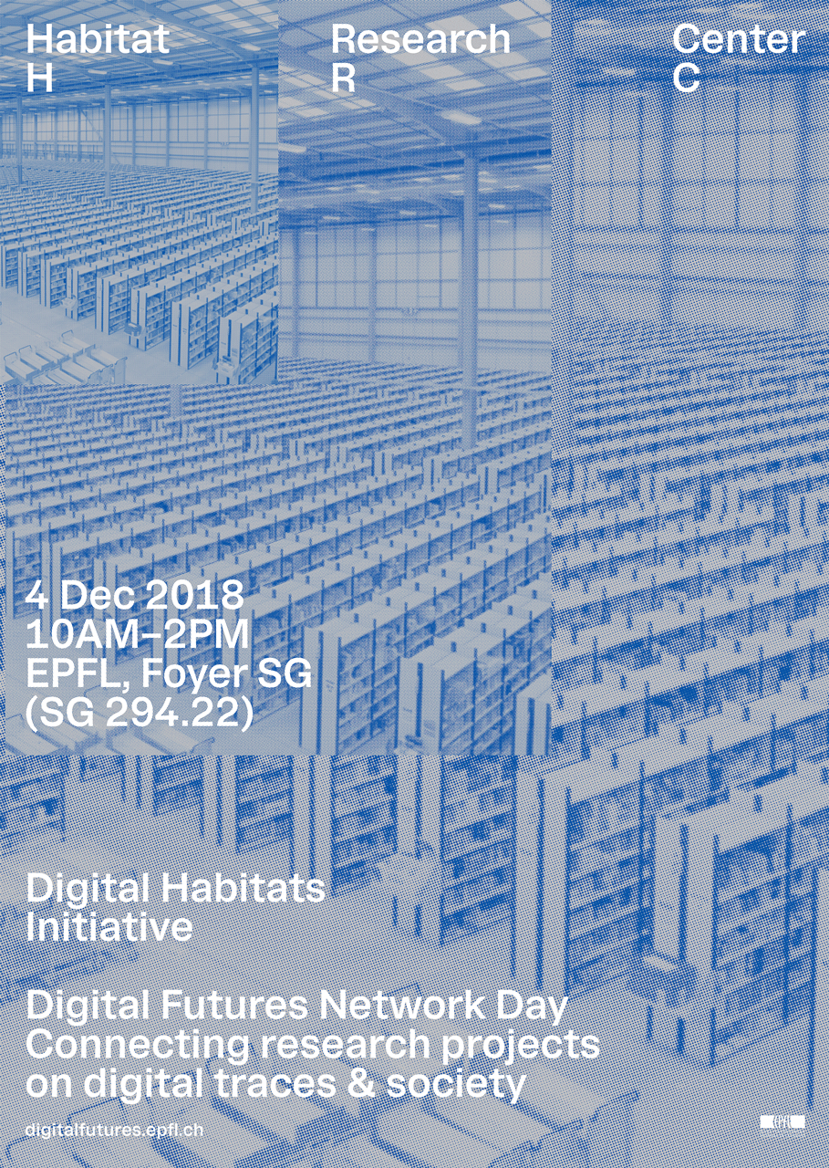
Digitization has an increasing impact on society and research. Digital tools and concerns create their own scientific ecosystem. Given the strategic importance of digitization for social economic development, national science funds provide growing share of their funding to projects concerned with digitization. In order to get a sense of the current research ecosystem on digitization, Digital Future Network Day gathered over sixty Swiss researchers, delegates of the Swiss National Science Foundation (SNSF), and member of the EPFL research community to discuss the future directions of scientific in digital and computational research. The event marked the launch of the call for the SNSF National Research Project 77: Digital Transformation.
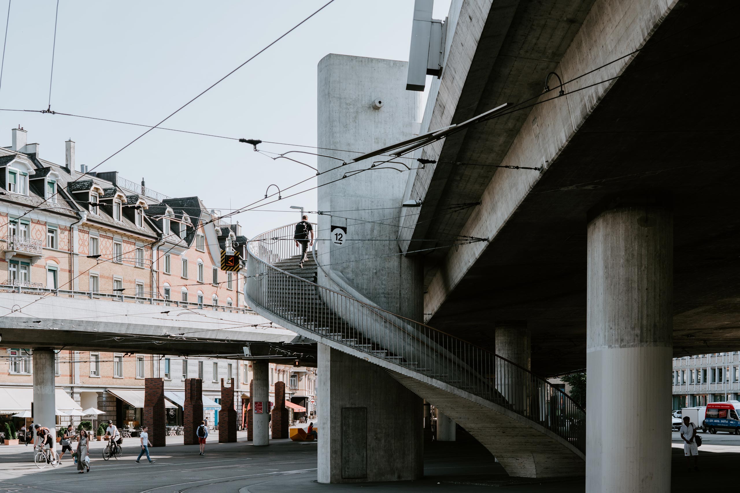
Comparing the contextual effect of city-state-like global cities, I argue that cities are spatial options historically constituted by their actors and show to produce specific political and economical practices. They are in that sense distinctive milieux of social and spatial conditions, affording a certain potential that does not emerge from other forms of territorial spatial options.